Bunessan, Suidhe and Uisken
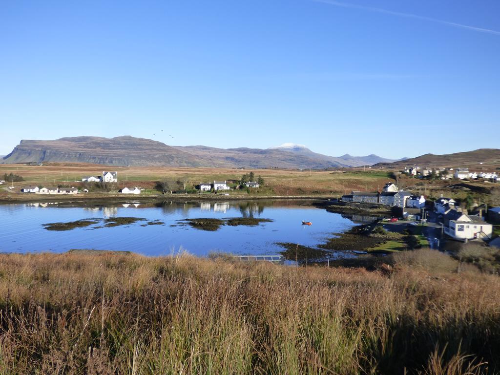
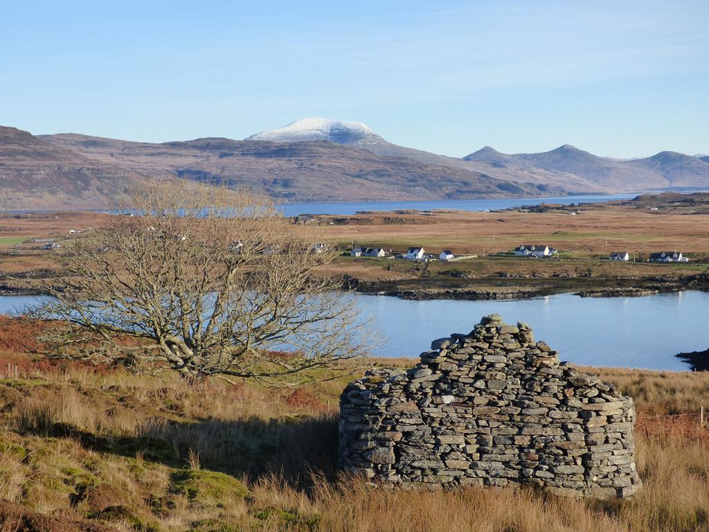
Suidhe Bunessan to Ben More with Ardtun crofting township
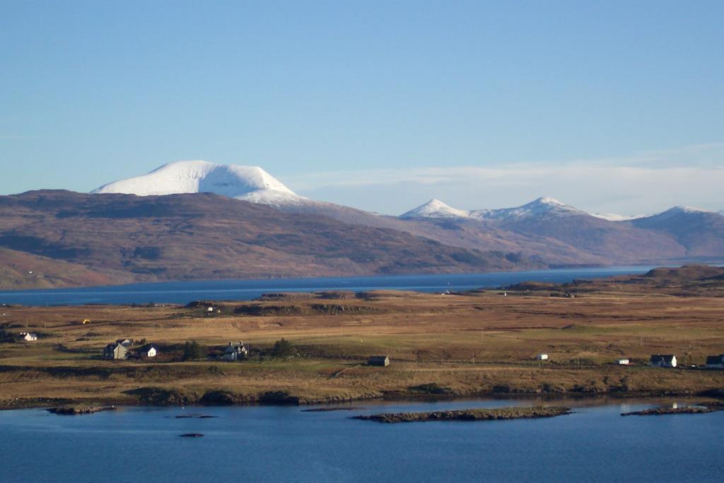
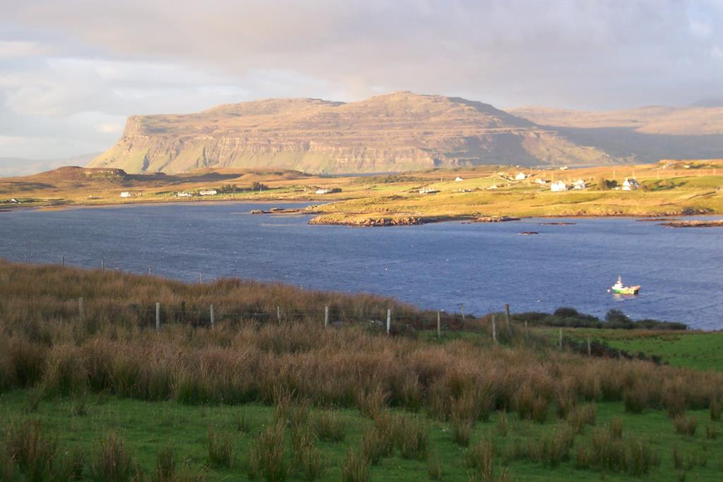
Bunessan with Ben More and Burg
Click on photos to enlarge.
Bunessan is the largest village on the Ross of Mull and was once the centre of activity for the densely populated crofting townships surrounding it.
Today there is a small Spar shop and post office, Bunessan Bakehouse which serves superb dinners and lunches, the Argyll Arms Hotel, Fingal's Cave gift shop, a Baptist Chapel, Church of Scotland, Church, the Ross of Mull Historical Centre, Fire Station, Village Hall and Doctor’s Surgery. The old pier in the village is no longer used and today’s fishing pier is a ¼ mile to the northwest on the road to Fionnphort. The local crab and prawn boats now use this pier which used to be known as the Maize Pier (maize was brought in by boat to feed the crofting community who were starving as the time of the potato famine in the 19th century).
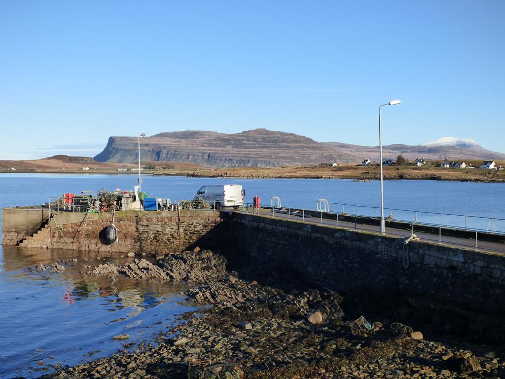 The pier can be busy and the Scottish shellfish caught is landed mostly for international export. Fishing has been one of the main employers and important to the economy of the community but the future of fishing is looking more precarious as its sustainability is very much in doubt. Crofting and tourism used to complement the fishing but now tourism plays a vital economic role.
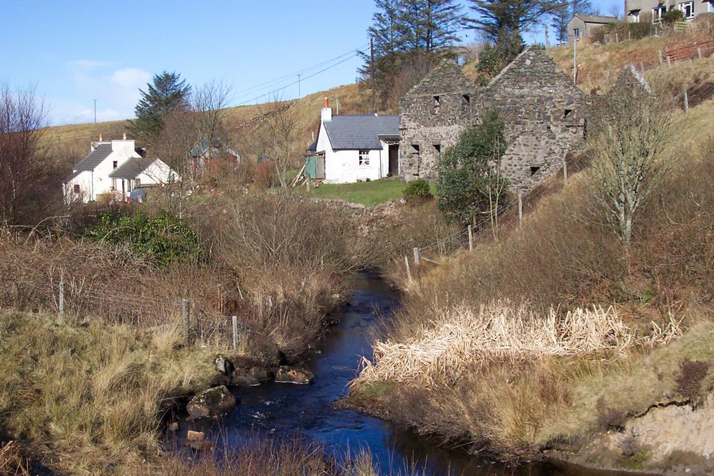
The Gaelic name Bun-Easin, which means ‘Foot of the Little Waterfall’, refers to the waterfall on Allt Ruadh (Red Burn) behind the
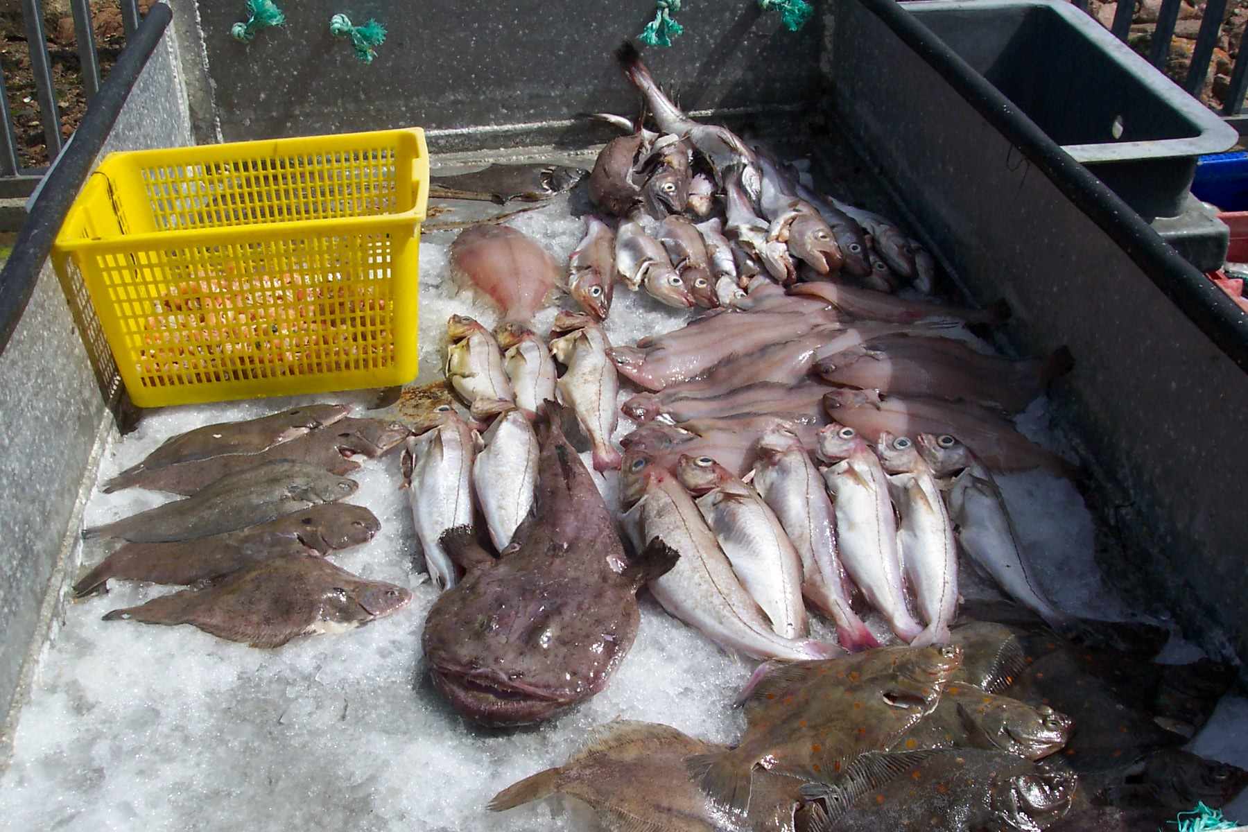
Fishi catch of the day
Argyll Arms Hotel. The village sits looking northwards on the shores of Loch na Làthaich (Loch of the Soft Clay). The Bunessan River flows from Loch Assapol into Loch na Làthaich. Where the river meets the sea, salmon and trout will jump to catch the surface flies while they wait for enough water to return to Loch Assapol to spawn.
Old Mill Bunessan home of historical centre
Bunessan Mill was built in the 18th century by the Duke of Argyll. Originally it was single storey with an eleven foot diameter water wheel – the cottage and mill has since become
Ardfenaig House Bunessan
the new home for the Ross of Mull Historical Centre. Further details about the Historical Centre can be found on the ATTRACTIONS page or you can visitwww.romhc.org.uk.
In the 1830 s the mill was coverted to two storey to provide a drying kiln. The water wheel was increased to 14 ft diameter and a lade was cut to give a 20ft head of water from the river. Sluice gates further up the river were opened and shut to provide enough water to power the wheel. Crofters on milling days helped the miller by opening and shutting the sluice gates when needed. Three millstones still survive on site. The mill ceased operation when Calum MacPherson the last miller went off to be a piper in the Scots Guards in the first world war and the building has not been used as a mill since. The wheel was used for scrap metal to help the second world war effort but you can still see the marks in the wall where the wheel turned today.
 Bunessan river which runs past the mill and flows into Loch na Lathaich is good for salmon and sea trout often seen rising to catch flies or rid themselves of sea lice while they wait for ideal conditions to return to Loch Assapol to spawn. There is also non migratory brown trout in Loch Assapol. Otters are sometimes spotted in the river and Loch Area. Otters need fresh water to clean salt from their fur and need salt water to feed. Salt in their fur affects their ability to keep warm and insulated. Their dens are called holts and they breed at anytime of the year usually having 2 or 3 cubs in a litter.. Female brings young up for a year, food sources include fish, shellfish, frogs in spring and sometimes wading birds.
Ardfenaig House at the west end of Loch Caol was one time home to the Duke of Argyll's chamberlain John Campbell from Islay. Known locally as Factor Mor he was an unpopular man because of his harsh attitude in dealing with the crofters during the times of famine and poverty.
UISKEN
Uisken Crofting Township
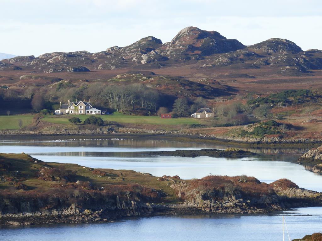
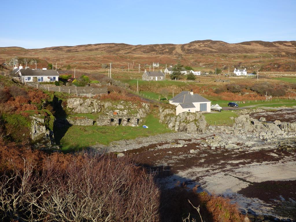
From Bunessan there is a road running south to the Port of Uisken on the south coast of the Ross of Mull. The road was made around 1850 with money from the Famine Relief Scheme, the construction was carried out under the charge of the landowner .The Duke of Argyll. A fishing station was planned for Uisken and the fish could then be carried by horse and cart to Bunessan instead of the fishermen having to sail round the dangerous seas of the Ross of Mull peninsular. The fishermen used the estate boats and could keep half the profit. The agent at Bunessan paid the fishermen and the fish was taken to the mainland to be sold. In the 1970s and 1980s a very successful commercial Atlantic Salmon fishing station using many bag nets was operated by a Dr Peter Riley from Bedfordshire who rented Uisken amongst other stations from the Duke of Argyll employing many young men in the area. The salmon was gutted and quicly set in wooden boxes to Glasgow, Ayr and sometimes London. Although there is no fishing now the salmon will still run by this coast but with the advent of salmon farming the netting stations became uneconomical. At Uisken there are the remnants of an old stone pier on the western corner of the beach.
Uisken Beach
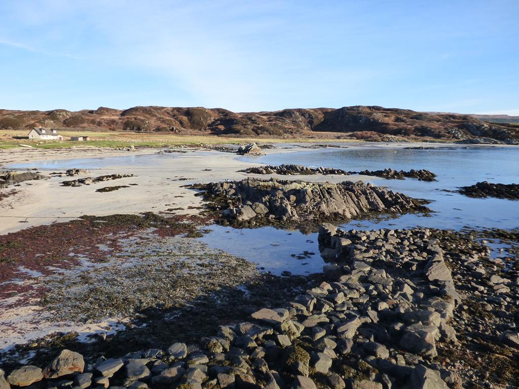
Uisken Bay is a bonnie bay with green croft fields and a very accessible sandy beach. You can drive your car to the small carpark which is literally a stones throw from the beach area. The rocks around the beach and cove are mainly of schist. You can stroll to the far eastern corner of the beach and climb the hill to the stone cairn which gives you grand sea views to Jura, Colonsay,Islay and of Uisken Beach and its croft lands to the west and north. The beach is a good venue to watch wading birds (oyster catchers, curlew. godwit, sandpiper) and the croft lands behind are full of little birds including yellowhammer and Linnet. Somtimes in summer the odd visiting Chough will appear which is about as far north as you are likely to see them.
There was a black corrugated tin hut beside the road at Uisken and this was once the school or "side school", which came under the charge of Bunessan head teacher. It was used in the days before cars and the school bus! Children from Uisken and surrounding area townships would walk to Uisken school which was far handier than Bunessan School.The school was closed in 1946 and the children were driven to Bunessan.
Uisken translates as "Little Water " and apparently was a popular place for distilling whisky. Many adventures are recounted of the fun and games the crofters had hiding the evidence of their illicit whisky making! The crofters at Uisken over the years supplemented their income by salmon fishing and weaving and any other jobs that brought in an income. They had to be very resourceful and still are today.
THE LAST LOOK BACK.
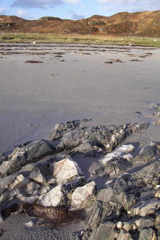
schist and quartz Uisken Beach
In times gone by islanders would often walk many miles to bury their dead with many wee rests to "celebrate" the life of the deceased. Normally 8 people would carry the coffin with men taking it in turns to carry the coffin. The cairn overlooking Uisken marks the place where funeral processions on their way to Kilvickeon burial ground, would rest. The custom was that each man put a stone on the cairn while they rested. The cairn is known as the " last look back."
MARY MACDONALD OF BUNESSAN
Mary MacDonald, born in 1789 at Dalnacarn near Bunessan daughter of Duncan MacDougall and Ann Morrison, was a poet of some prowess. She lived with her husband Neil MacDonald and ten children in a basic dwelling enduring crofting hardships of the period. Working six days a week (Sunday was a day of worship), Mary still managed time to compose the worldwide known verses entitled ‘Leanabh an Aigh’ (Child in a Manger).The fourteen verses she composed has assured Mary of her niche worldwide. The lovely Celtic melody to which it is sung is centuries old and is called "Bunessan." She also wrote a lament for her drowned daughter in law and a song about her husband's smoking habits and his bad temper when he couldn't get his tobacco. Mary died in 1872.
Child in a Manger:
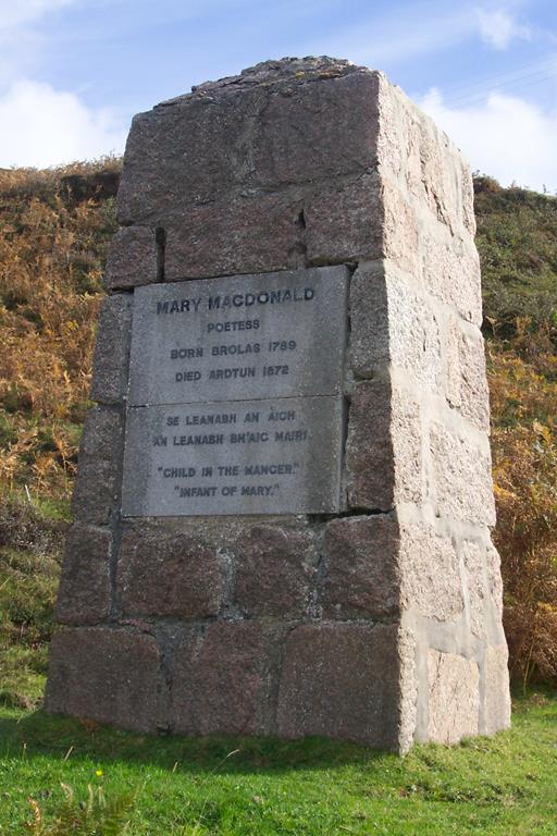
Monument to Mary MacDonald
Child in a manger
Infant of Mary,
Outcast and stranger,
Lord of all!
Child who inherits,
All our transgressions
All our dements
On him fall.
Once the most holy, child of salvation, Gently and lowly, lived below, Now, as our glorious, Mighty redeemer, See him victorious, Oer each foe
Profits foretold him, Infant of wonder, Angels behold him, On his throne, Worthy our saviour, Of all their praises, Happy forever, are his own.
SUIDHE (Gaelic – ‘Seat’)
OS Map: NM 370221
Suidhe croft ruin
Suidhe, a peaceful ruined township on the hill west of Bunessan pier is a scheduled monument of national significance showing occupation and changing use over hundreds of years
From the pier head, walk through the gate stile above the road and head west up the hill following the rough track through the fields. As you climb, looking to the north and east the panoramic seascapes of the islands, north Mull, The Burg cliffs with Ardtun in the foreground are spectacular especially in the early evening summer sun which lights up the dark moody Burg cliffs.
Near the top of the hill in a hollow there are five ruined buildings some with rounded gables and one with squared upper course. The ‘square’ building would be newer than the others possibly with a tin corrugated roof rather than the traditional thatch. In one building there are the remains of a byre – the stone pen dividers are still clearly in evidence.
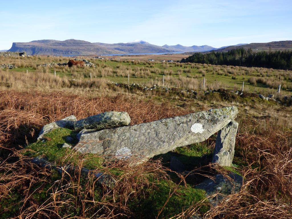
Suidhe Ancient Burial Chamber
In the 18th century, sixty people lived at ‘Suy’, as it was known then. The last family left in the 1930’s as farming income could not keep up with the rent charged.
The ‘in-bye’ land immediately round Suidhe is very fertile and the position of Suidhe itself in respect to height, giving it a strong defensive position would perhaps indicate a place of importance
Burg and Ardmeanach from Suidheor ‘seat’ of importance, an ideal place to live at one time.
There is a sense of strength and peace when you visit Suidhe and the views are uplifting from the hilltop. Another indicator that Suidhe was a place of importance in ancient times, are the remains of a burial mound with a hollow centre lying just south of the aforementioned ruins. Beside the burial place are two standing stones.
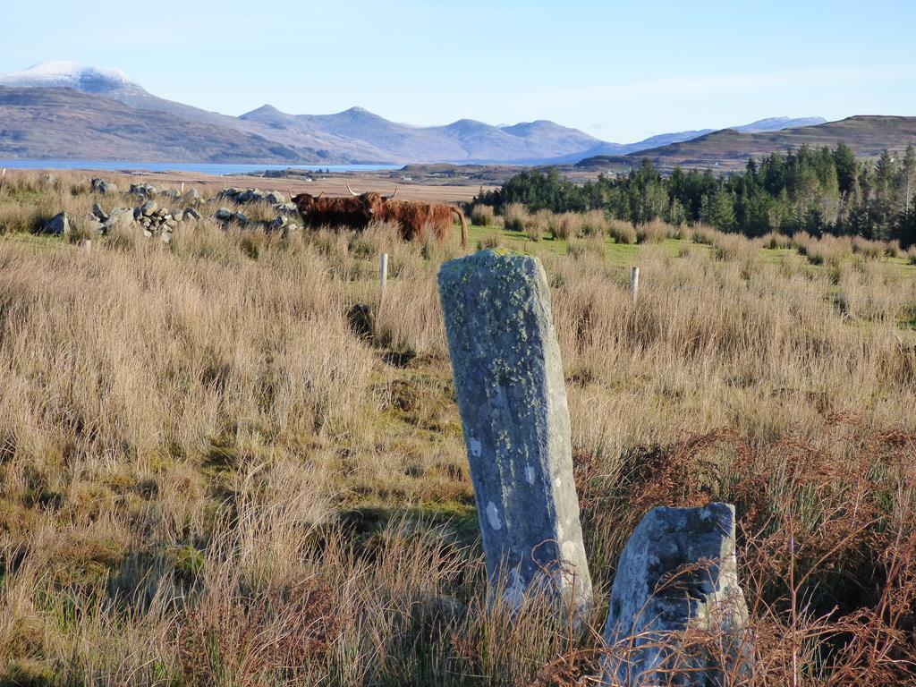
Suidhe Standing Stone
Perhaps Suidhe was the ‘capital’ of the Ross of Mull at one time – a place to rest and stay en-route to Iona. Geologically it is the transition point from the typical Mull Basalt to the pink Ross of Mull granite. At Suidhe there is a seam of Schist and Quartz which can be easily identified
Last amended 24/11/2015 © 2000 - 2015